Georgia’s 1,253 miles of interstate highways perform several functions vital to the state’s economy: connecting Georgia to the rest of the nation, linking the state’s major cities, and helping move suburban commuters to and from work centers. Part of the nationwide Dwight D. Eisenhower National System of Interstate and Defense Highways, Georgia’s interstate highways, along with Hartsfield-Jackson Atlanta International Airport and the deepwater ports of Savannah and Brunswick, helped establish the state—especially its capital, Atlanta —as a vital transportation hub for the Southeast. Hartsfield-Jackson is the second busiest airport in the nation in terms of passenger volume, and the port of Savannah has been the nation’s fastest growing port since 2002. The state is served by a total of fifteen interstate highways, ranking Georgia tenth in the nation in the number of such superhighways.
Photograph by U.S. Geological Survey
Conceived in the 1930s to encourage economic development and provide efficient defense transportation, the nationwide interstate system included 47,908 total miles in 2015. U.S. president Dwight D. Eisenhower is credited with launching the development of the system through the Federal-Aid Highway Act of 1956.
The interstate highway system was built to consistent design standards requiring limited access, wide lanes, paved shoulders, at least four lanes, and accommodation for speeds of up to seventy miles per hour. It was constructed largely with federal fuel and motor vehicle taxes through an aid system that provided 90 percent of the cost for approved segments.
A Georgia native, General Lucius D. Clay of Marietta, is credited with being the principal architect of the system. In 1954 President Eisenhower appointed Clay, who had managed the Berlin Airlift and presided over the rebuilding of Germany after World War II (1941-45), to chair a committee charged with mapping out a national interstate highway system. Clay’s leadership brought Interstates 75, 85, and 20 through Atlanta, cementing the city’s destiny as a transportation hub.
Connecting Georgia to the Nation
Because of Georgia’s strategic geographic location, two of the nation’s seven most important north-south transcontinental interstate highways pass through the state:

Photograph by Matt Lemmon
1) I-95 passes through Georgia’s coastal area, linking Miami, Florida, with Houlton, Maine. On it motorists can travel 1,919 miles through sixteen states, including the metropolitan areas of Boston, New York City, Washington, and Richmond, Virginia. Completing the highway’s entire length cost an estimated $8 billion.
2) I-75 crosses Georgia from its northwest corner to its far southern border with Florida, linking Miami with Sault Ste. Marie, Michigan. Motorists can travel a total of 1,786 miles on I-75, through Detroit, Cincinnati, and Chattanooga, Tennessee. Completing the highway’s entire length cost an estimated $5.1 billion.
Other interstate highways important for connecting Georgia to the rest of the nation include: I-85, a north-south route that enters the state’s northeast corner and passes through Atlanta southwest into Alabama, connecting Petersburg, Virginia (where it merges with I-95), with Montgomery, Alabama; I-20, an east-west route that passes through the state’s midsection, connecting I-10 in western Texas with I-95 at Florence, South Carolina; I-24, four miles of which pass through the far northwest corner of the state; I-59, which also passes through northwestern Georgia, connecting New Orleans, Louisiana, with Chattanooga.
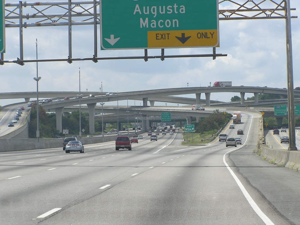
Image from Elaine Chambers, Wikimedia Commons
Other superhighways with interstate designations are circumferential highways or spurs connecting interstate highways within Georgia. In Atlanta, I-285 is the city’s perimeter highway, and I-575 connects I-75 with counties in north Georgia. I-675 creates a shortcut from I-285 to I-75 south of the city, and I-985 connects I-85 with the Gainesville area in north Georgia. In Macon, I-475 allows travelers to bypass the city. I-185 connects I-85 with Columbus on Georgia’s western side. I-516 is a spur highway in Savannah, and I-520 is Augusta’s perimeter highway.
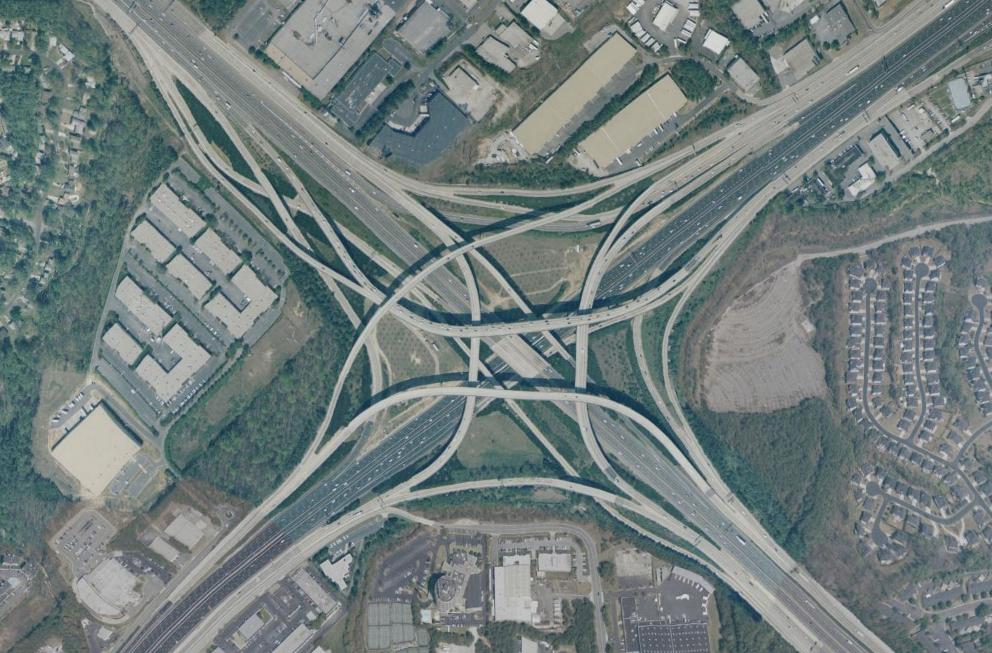
The Interstate System in Metropolitan Atlanta
Six interstate highways—I-20, I-75, I-85, I-285, I-575, and I-675—help metropolitan Atlanta residents get where they need to go. Since their construction in the 1960s and 1970s, Atlanta’s interstate highways have helped fuel urban sprawl, first around the northern I-285 perimeter and Interstates 75 and 85 north of the city. In the 1980s and 1990s, growth moved toward the southern part of the perimeter, following I-20 both east and west, as well as I-75 and I-85 south. This sprawl in turn fueled growth in traffic volume that prompted the interstate highway expansion and rebuilding projects that continue to this day. In 2011, according to a study by the Texas A&M Transportation Institute, Atlanta had the seventh worst commute in the nation. Atlanta drivers spend fifty-one hours more per year behind the wheel than the average American driver.