Coffee County, located in Georgia’s Lower Coastal Plain, was created from sections of Clinch, Irwin, Telfair, and Ware counties on February 9, 1854.
The county is named in honor of John E. Coffee, an influential Telfair County planter and politican who served in both houses of the Georgia state legislature, as well as in the U.S. Congress. Coffee was also a prominent frontiersman, renowned for his service in the region’s Indian wars.
Coffee County is in the wiregrass region of south central Georgia, so called because of the predominance of wiregrass, which grows among the Georgia pines, especially in the Lower Coastal Plain. During the early nineteenth century, the area attracted many whites to the region, because of its abundance of game, rivers, woods, and general wildlife. Only the most adventurous pioneers actually settled there, however.

Before white immigration, Creek Indians were the original inhabitants of Coffee County. By 1827 local wars between the early settlers and the Indians, and various treaties resulting in the forced removal of the Creeks, led to their demise in the region. The Indian heritage of the area lives on only in the names of many of the lakes, creeks, streams, and rivers, including the Oconee River, Ocmulgee River, and the Okefenokee Swamp, which retain their original Indian names.
The Indian removal, along with the development of roads, was an impetus for the rapid migration of larger family units to the area. Their arrival brought an era of social change and economic prosperity for whites. Churches, schools, and new roads were built, and farmland was fenced and cultivated into thriving plantations that grew cotton, among other crops. With the advent of tobacco cultivation, enslaved labor was introduced into the society, though only on a small scale.
Coffee County is still mostly rural. Most of the residents in and around the county’s larger towns—Broxton, Ambrose, and Nicholls—are involved in agriculture. The tobacco market is still one of the strongest in the state. As a result of rapid growth in the manufacturing sector, the level of employment in the county is close to the state average and even surpasses employment levels in most other developing counties.
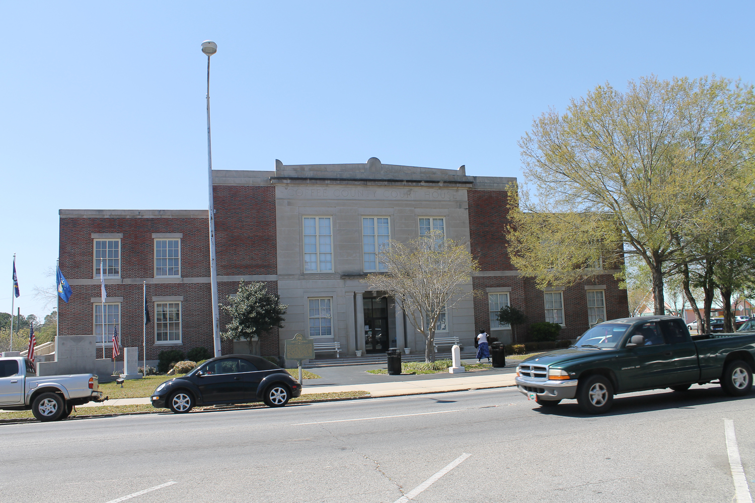
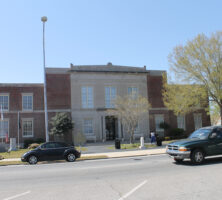
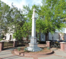
In 1858 Douglas was established as the county seat. It was named after U.S. senator Stephen Arnold Douglas of Illinois, who became popular because of his rivalry with Abraham Lincoln for the U.S. presidency. Douglas is home to South Georgia College, the oldest two-year institution under the University System of Georgia and the host to one of the largest Elder hostel programs in Georgia. Two National Register Districts are found in Douglas: the downtown historic district and Gaskin Avenue, a historic residential district. Both sites feature impressive turn-of-the-century architecture. Other prominent places of historical interest in Douglas include Heritage Station Museum, Douglas City Cemetery, and Martin Centre, a restored 1950s movie theater.
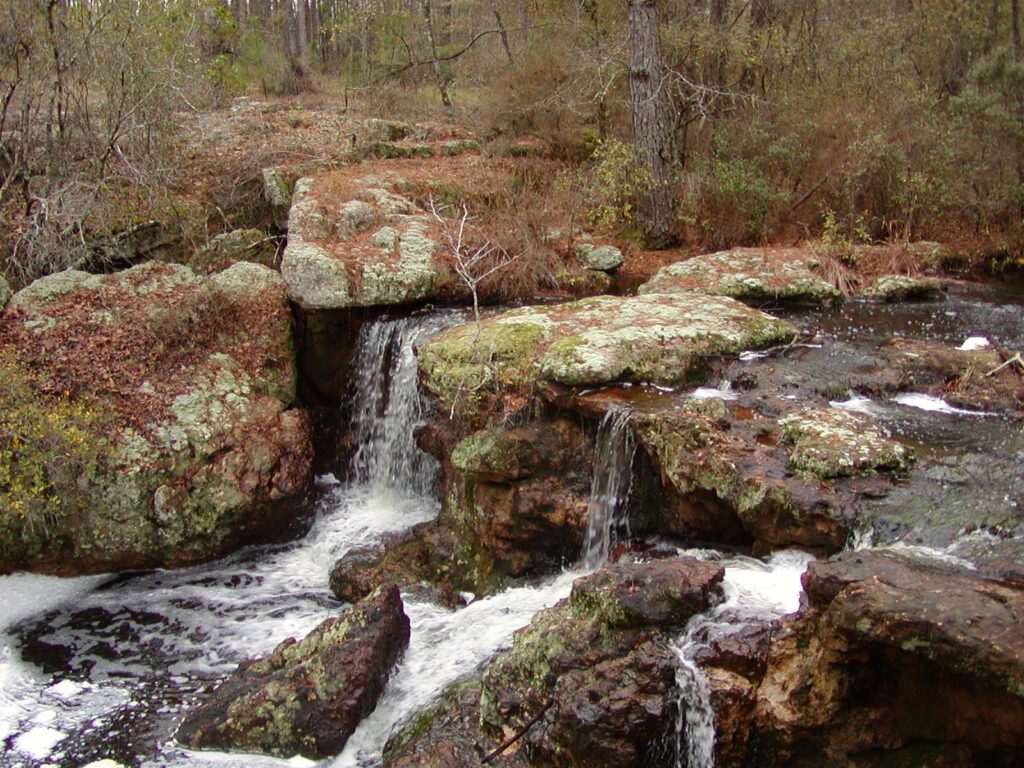
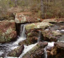
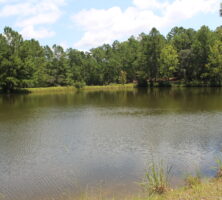
Located five miles east of Douglas is the General Coffee State Park, which showcases the county’s pioneer heritage and natural environment. One of the main features of this 1,511-acre park is Meeks Cabin (ca. 1830), a log structure that is one of the oldest buildings in south Georgia. The park also maintains an environmental reserve that houses various endangered species of animal and plant life. Endangered flora may also be found at Broxton Rocks Preserve, a unique sandstone outcrop that extends nearly four miles. The preserve is home to more than 500 species of plants native to the area, including rare and endangered species.
According to the 2020 U.S. census, the county’s population is 43,092.