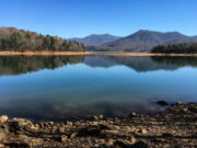
Reservoirs are water impoundments—or human-built lakes—that do not occur naturally in the landscape.
The land that makes up present-day Georgia had few natural lakes before European settlement, and most impoundments, formed by beavers and debris dams from high flows, were relatively small. The lack of glacial retreat, land slope, and local geology provided conditions for large and small rivers and streams but not for lakes. The natural water bodies that occur in Georgia are primarily located in the southern part of the state in the Coastal Plain, where sinkhole lakes and isolated wetlands in natural shallow depressions largely fed by rain and shallow groundwater, called Carolina bays, form. Hence, the majority of lakes in Georgia that are now enjoyed for recreational, industrial, municipal, and federal government uses are made by people.
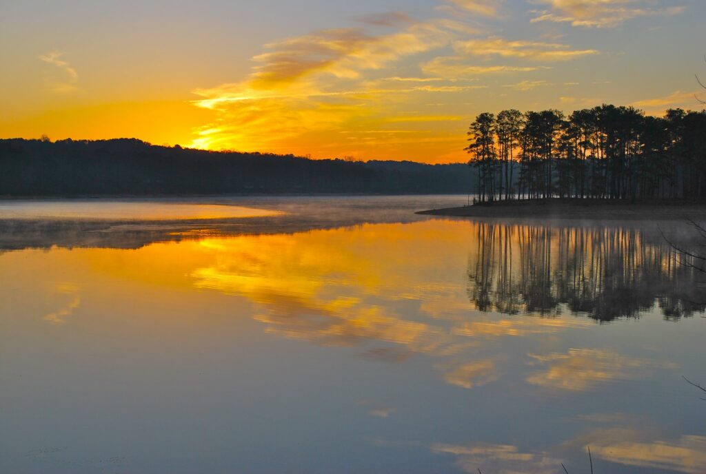
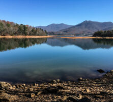
Image from Ronnie
These lakes are most commonly created by constructing dams in river or stream valleys. Water released downstream from large reservoirs is regulated according to water use. Reservoirs are typically constructed for purposes of power generation, flood control, navigation, water supply, and recreation. Smaller lakes may be constructed for agricultural irrigation, recreation, or aesthetic purposes. The U.S. Environmental Protection Agency (USEPA) survey of water impoundment structures indicates that there are 4,435 dams over six feet high in Georgia. Recent studies in the Upper Oconee River watershed, however, indicated that only 5 percent of dams were counted in the USEPA survey. The large number of dams on small streams was identified as the cause of the discrepancy between the USEPA survey and the research results of the Upper Oconee study; although the number of stream miles dammed into ponds is relatively small (8 percent of stream miles are inundated), the percentage of stream miles that no longer function as a part of the river and stream network is much greater.
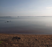
Photograph from Wikimedia Commons
History
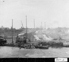
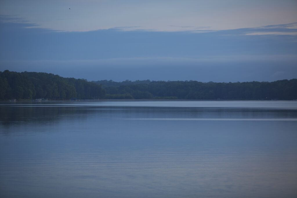
The creation of large reservoirs in Georgia began in the early 1900s, when the Georgia Power Company impounded waters for use as cooling structures for coal-fired electrical plants and hydropower. Additional reservoirs were built in the 1930s by the Tennessee Valley Authority as part of a large flood control and power generation project in the Tennessee River valley. The U.S. Army Corps of Engineers began constructing dams in Georgia for navigation and flood control in the 1940s and 1950s under the Flood Control Act of 1944 and the Watershed Protection and Flood Prevention Act of 1954. Several of these dams also produce hydropower. The Georgia Power Company and the Corps of Engineers continued to impound rivers for power production and flood control into the 1980s. The majority of new reservoirs in Georgia at the start of the twenty-first century are being constructed for the purpose of increasing the local water supply. The state of Georgia in 2003 had thirty large reservoirs.

Courtesy of Georgia Archives.
Many of the smaller impoundment structures in Georgia were also begun under the Flood Control Act of 1944 and the Watershed Protection and Flood Prevention Act of 1954 by the U.S. Department of Agriculture. Under the Small Watersheds Program, 357 watershed structures were constructed in Georgia. Many of these structures are nearing the end of their fifty-year life span and require repair or rebuilding to meet dam safety laws.
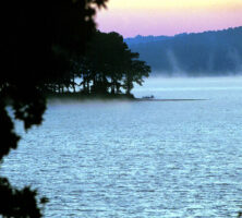
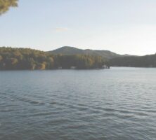
The larger impoundments of Georgia are primarily concentrated in the northern half of the state, in the Piedmont. The land flooded by many of these impoundments was largely left intact; that is, buildings and many of the trees in the area were submerged as the waters accumulated behind the dam. The underwater landscape in these impoundments includes standing vegetation and building remnants that provide fish habitats. Many smaller impoundments are built by either excavating or clearing depressions before filling them with water. In the construction of many small impoundments, particularly in the unconsolidated soil of the Coastal Plain, the soil is compacted, or liners (of fabric or compacted clay) are used to prevent water loss through seepage.
Differences from Natural Lakes
Constructed lakes differ from natural lakes in several significant ways. The drainage basins of reservoirs are typically much larger in relation to the lake surface area than the drainage basins of natural lakes. Reservoir basins tend to be narrow, elongated, and dendritic (branching) because they are most commonly formed in river valleys. Reservoirs receive runoff from large streams and rivers, and they are not typically intercepted by wetlands or shallow interface regions. The result is that runoff inputs are larger, are more closely linked to rainfall, and affect a larger portion of the lake than is the case in most natural lakes. These characteristics lead to high inputs of nutrients and sediments in rainy weather.
Courtesy of Explore Georgia.
Natural lakes tend to be located at the headwaters of rivers or streams, whereas reservoirs tend to be closer to the mouth of the river or stream. Natural lakes therefore tend to have lower nutrient and sediment concentrations than those in constructed systems. The water levels in natural lakes are fairly constant, while those in reservoirs are typically managed for flood control, hydropower production, and/or navigation. Reservoirs frequently release water from the bottom of the dam pool, which contains little dissolved oxygen; this may cause problems with water quality downstream. Natural lakes, in contrast, typically release well-aerated surface waters.
Management of reservoir water levels result in large areas of sediments that are alternately flooded and exposed; frequent manipulation of water levels prevents the establishment of stabilizing wetlands and shoreline vegetation, and increases shoreline erosion and sediment loading. The frequent alternation between flooding and exposure may encourage sediments to release more nutrients than are found in natural lakes. The higher nutrient load encourages the growth of algae and other organisms that sink to the sediments upon death. The sediments gradually fill in the reservoir, so that the life span of the reservoir is shorter than that of natural lake systems.

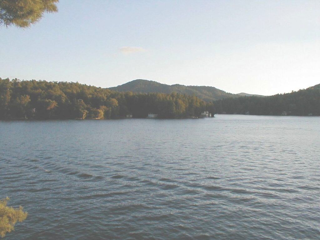
Image from Shawn Taylor
Constructed lakes formed by river impoundment typically have hydrodynamic characteristics that are very different from natural lakes, consisting of riverine (riverlike), transitional, and lacustrine (lakelike) zones in the reservoir. Lakes created for hydropower generation may have additional variations in hydrodynamic characteristics caused by the flow created by the power-generating turbines, or by the pumping system for hydropower generation.
Smaller reservoirs and ponds also have characteristics different from natural lakes. The creation of these impoundments can alter the shape of the basin to inhibit the establishment of emergent and shoreline vegetation necessary to prevent bank erosion. Small reservoirs frequently have no outflow point and hence accumulate sediments and nutrients at a faster rate than natural lakes. The result is that small constructed lakes support different flora and fauna from those in natural lakes.
The biota (animal and plant life) of reservoirs may be very different from natural systems. Reservoirs are stocked with fish to develop sport fisheries for recreation. Small constructed lakes and ponds are also frequently stocked with fish for recreation, and to control the growth of submerged vegetation. The stocking of fish develops a different food web from what would naturally occur. The impoundment of rivers also may inhibit the growth of native fish species by preventing movement of the fishes at critical times, and by removing native habitat (flowing water) necessary for reproduction. In addition, the reduced flow velocity and increased sediment loading can suffocate native mussels and other bottom-dwelling species; for this reason many of Georgia’s native mussel species are now in danger of extinction. The differences in flow and sediment also alter the base of the food web to one of suspended algae (phytoplankton), rather than the attached algae (periphyton) and detrital material that form the food base in rivers and streams.
Future Plans
More than 100 reservoirs were under construction or awaiting approval in the state in 2003. Georgia’s constructed lakes provide many benefits, including recreation, water supply, flood control, navigation, and agricultural irrigation. The potential consequences of further fragmenting our natural river and stream systems, however, should be carefully considered to assure that the benefits of these proposed systems justify the financial and environmental costs.