Gilmer County, in northwest Georgia, is the state’s eighty-fifth county.
Originally held by the Cherokee Nation, its land lay within that lost by the Indians via treaty, battle, and forced removal in the 1830s. The region was claimed by the Spanish as part of Florida until 1665, when it became part of Carolina. It then became part of the original grant to James Oglethorpe, the founder of the Georgia colony. Early white visitors included the Spanish explorers Hernando de Soto and Juan Pardo with their men. Pardo’s chaplain, Sebastian Montero, unsuccessfully tried to establish mission churches in the region. The first non-Indians to settle in what was to become Gilmer County arrived by 1769.
Establishing homes in an area called Talking Rock (now part of Pickens County), early white settlers developed communities along the Federal Road, to which right-of-way had been granted by the Cherokees. Both the state and federal governments subsequently abrogated treaties with the Indians, preventing them from regaining control of their land, which was then sold to white settlers by lottery. Several important Indian leaders from what became Gilmer County, including Chief Whitepath and Walking Stick, tried repeatedly but unsuccessfully to obtain just treatment of their people at the hands of the U.S. government.
In 1831 the state legislature created Cherokee County, including in it all land west of the Chattahoochee River and north of Carroll County. Because of the large size of Cherokee County, and the fact that its inhabitants included a number of Cherokee Indians, the county proved too difficult to administer. In December 1832 it was divided into several smaller counties, one of which was Gilmer County, named after George R. Gilmer, who as governor was a leading figure in the forcible removal of the Indians. The current Gilmer County, at 427 square miles, is about 68 percent of the original county’s size. Many of its historic sites are located in what is now Pickens County.
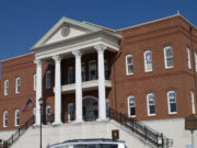
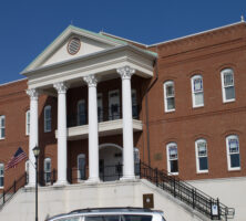
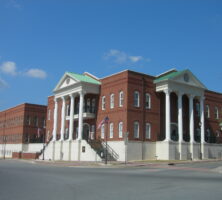
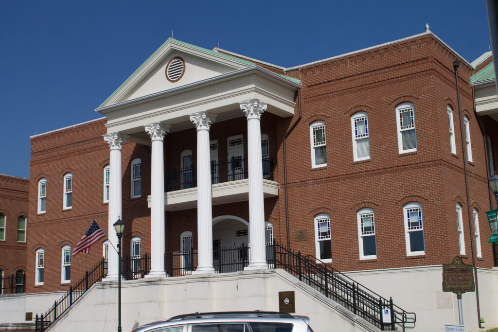
The county seat, Ellijay, was established on the site of a Cherokee town with a similar name. The seat of county administration since 1834, it has been home to a series of courthouses. The most recent is a converted hotel building constructed in 1898 and made into a courthouse in 1934, with an annex converted from a private home across the street. This courthouse was demolished in 2003 and replaced with a new complex that was completed in 2009. The county’s only other incorporated city is East Ellijay.
There was a short period of “gold fever” in Gilmer County after gold was discovered in the region in 1829. Prospectors seeking their fortunes came to the county in several waves, some of them establishing the Georgia White Path Copper and Gold Mining Company, but the gold rush ended in the 1840s. The mines were thereafter sometimes operated with convict labor.
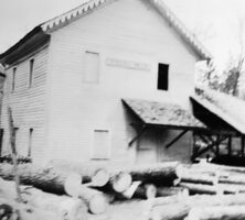
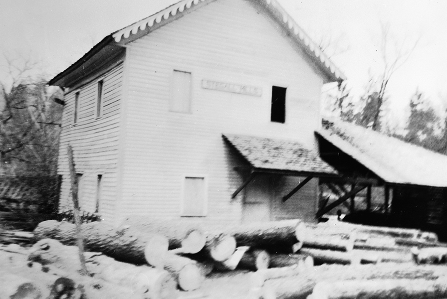
Early industries in the county were cotton gins, gristmills, and sawmills. Agriculture for the market was at first solely focused on cotton, but local farmers achieved more security by growing apples, now a prime crop and source of a tourist attraction. After long and hard work, residents of the county were able to secure the arrival of a railroad in 1883, but automobile travel made the biggest difference in Gilmer County. The completion of Georgia Highway 515 in 1991 has brought increasing numbers of tourists, drawn by the county’s apples, scenery, and various festivals.
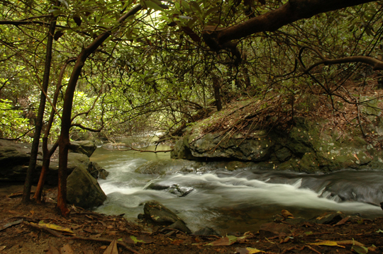
Points of interest include Carters Lake; a large portion of the Chattahoochee National Forest; Ellijay Wildlife Rehabilitation Sanctuary; Old Cartecay United Methodist Church, the oldest Methodist church in north Georgia, established in 1834; the Perry House, home of the Gilmer Arts and Heritage Association; and River Park, a recreation and picnicking complex on the banks of the Coosawattee River.
According to the 2020 U.S. census, the population of Gilmer County is 31,353, an increase from the 2010 population of 28,292.