Dawson County, in northeast Georgia, is the state’s 119th county. Its 211 square miles were carved from parts of Gilmer and Lumpkin counties in 1857 and named for Judge William Crosby Dawson, a native Georgian who served in the state legislature and in the U.S. Senate.
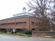
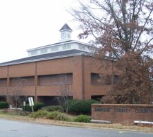
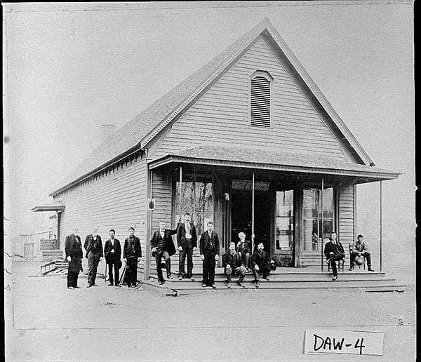
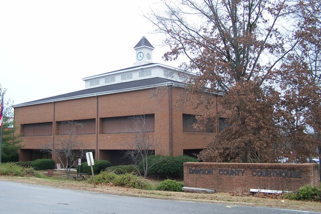
Dawsonville, the county seat, was incorporated on December 10, 1859. The current courthouse opened in 1980, replacing one that was constructed around 1858 and has since been restored. Both courthouses are used for official business, with the older one also functioning as a community center and venue for art shows and other exhibitions. The county also includes two unincorporated towns, Landrum and Juno.
The area was inhabited by Cherokee Indians until gold was discovered in north Georgia in 1829. The gold rush brought numerous white prospectors into the region, which Georgia claimed as state territory in 1832. The sad result for the Cherokees was their forcible removal from the land, which was divided among the white settlers through the Georgia land lotteries. Gold was mined on a commercial scale over the next several decades.
The area was a Unionist stronghold during the Civil War (1861-65). Men from Dawson, Pickens, and Union counties created the First Georgia State Troops Volunteers, a full Union regiment. Some of these soldiers were later murdered by Confederate guerrillas.
Despite the allure of gold mining, the primary economic focus of the county for most of its existence, especially in the north, was farming. During and after the prohibition era of the 1920s and early 1930s, Dawson County was also an active site for the manufacture and transportation of moonshine. With the incursion of the boll weevil and the rising cost of mining operations, both cotton agriculture and gold mining suffered during the 1930s. County citizens, seeing more opportunity in Atlanta, began to leave the area, and whole communities disappeared. The population continued to decline until the 1970s, when several factors combined to reverse the trend. Chief among these was the development of the northwestern shore of Lake Lanier (created in the late 1950s) by people building weekend houses. Others, many of them retirees, settled more permanently in the new lake community.
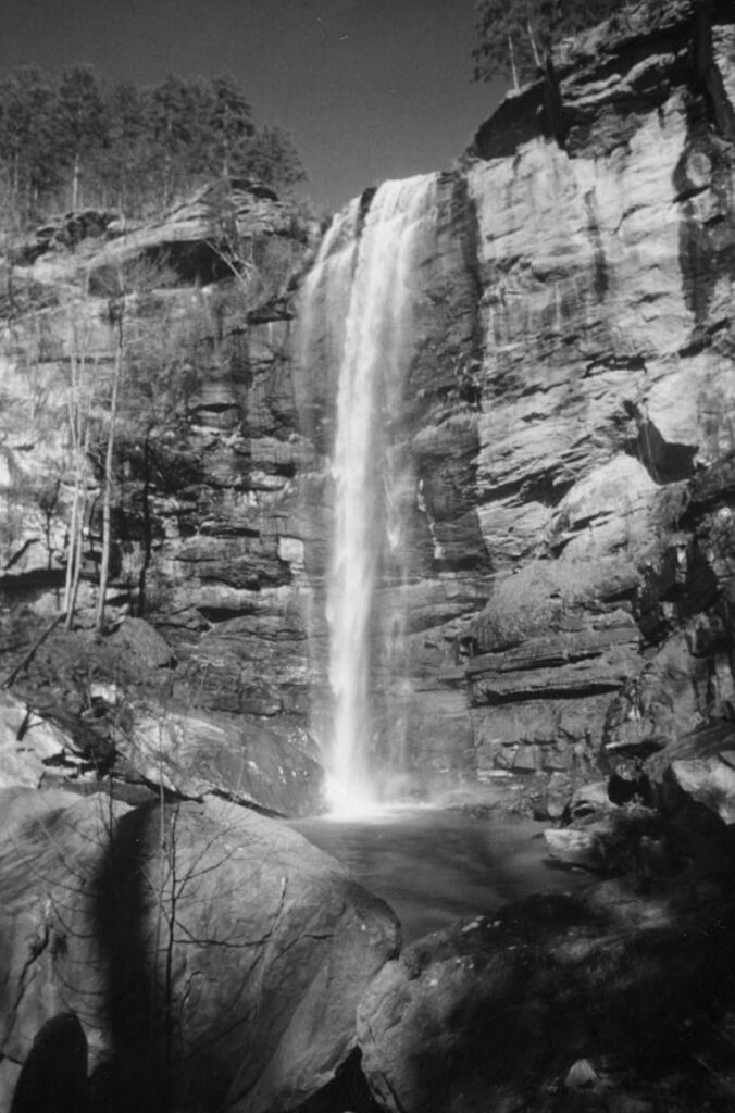
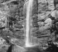
During this time, northern Dawson County also began to draw visitors to its mountains and forests, including the Amicalola Falls State Park. In 1911 the government purchased 31,000 acres from the owners of a lumber company. This property, along with other land, became the Chattahoochee National Forest in 1936. The purchase of 10,000 acres of land from Lockheed-Georgia (later Lockheed Martin) in 1971 allowed the county to establish the Dawson Forest Wildlife Management Area. This state-managed game preserve, located just south of Amicalola Falls State Park, brought in more tourists. Finally, the building of Georgia 400, a toll road extending northward from Midtown Atlanta through Dawson County and ending in neighboring Lumpkin County, played a major role in the county’s growth. In the twenty-first century Dawson County has become one of the top poultry-producing areas in the state.
Additional places of interest include the old county jail, which has been restored and is now the county’s welcome center; the old Lumpkin Campground, which was established in 1830 as a Methodist camp-meeting site and is still in use for Methodist and Baptist camp meetings; and Steele’s Covered Bridge. Since 1966 the county has hosted an annual Moonshine Festival in celebration of its history. In 2000 the Kangaroo Conservation Center, established originally in Alpharetta, opened on eighty-seven acres in Dawsonville. The center is home to approximately 300 kangaroos, as well as to Australian birds, reptiles, and plants.
NASCAR driver Bill Elliott is a famous native of Dawson County.
According to the 2020 U.S. census, the population is 26,798, an increase from the 2010 population of 22,330.