Talbot County was created by an act of the Georgia legislature in 1827. The county was formerly a part of Muscogee County. It is located thirty miles northeast of Columbus and sixty miles west of Macon in west central Georgia.
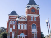
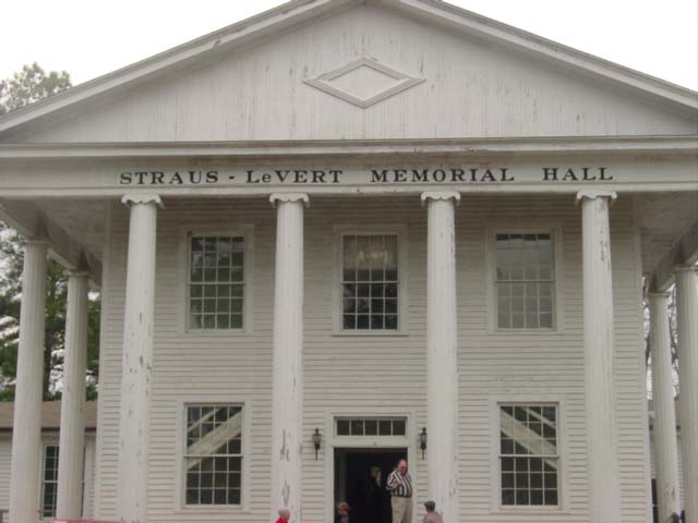
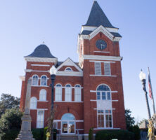
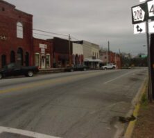
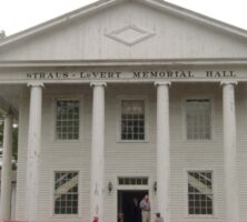
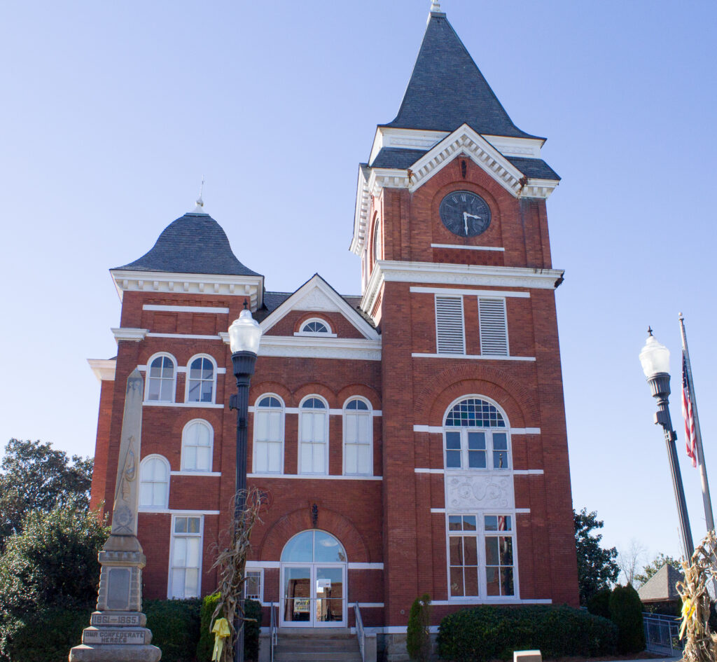
The Flint River forms the northeastern boundary, and Talbotton is the seat of the 393-square-mile county. Both the town and the county are named for Captain Matthew Talbot, who served as Georgia’s governor for a short time in 1819. Collinsworth Institute and Talbotton Female Academy (later LeVert College), one of the first schools for females in Georgia, were located in Talbotton.
In 1836 the last of the Creek Indians were forcibly removed from the area, and growth was rapid up until the time of the Civil War (1861-65). By 1850 Talbot was the fifth largest county in the state. The total population was 16,534, just over half of whom were enslaved. Cotton production at the time reached 18,800 bales per year. The production of cotton, peaches, and livestock made Talbot one of the wealthiest counties in the state. With the infestation of the boll weevil in the early 1920s, cotton production decreased steadily.
Between 1992 and 1997, according to the U.S. Department of Agriculture, land use for farms in Talbot County decreased 5 percent, from 38,313 acres to 36,481 acres. The average size of farms increased from 302 to 329 acres in this same period, while the number of full-time farms decreased from 46 to 40. During the same period, crops accounted for 10 percent and livestock for 90 percent of the market value of agricultural products sold. Talbot County has a 95-acre industrial park located southwest of Talbotton on U.S. Highway 80.
Hunters know Talbot County for its large deer. The county also holds a popular fall festival and car rally. Nearby attractions include Pine Mountain, Warm Springs and Franklin D. Roosevelt’s Little White House, the Roosevelt Warm Springs Institute for Rehabilitation, Callaway Gardens, Columbus, and the Flint River Recreation Outdoor Center.
According to the 2020 U.S. census the county’s population was 5,733, a decrease from the 2010 population of 6,865.