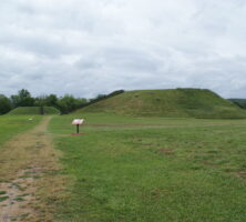
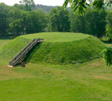
Etowah Mounds State Historic Site contains one of the largest Indian mounds in North America.
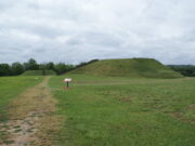
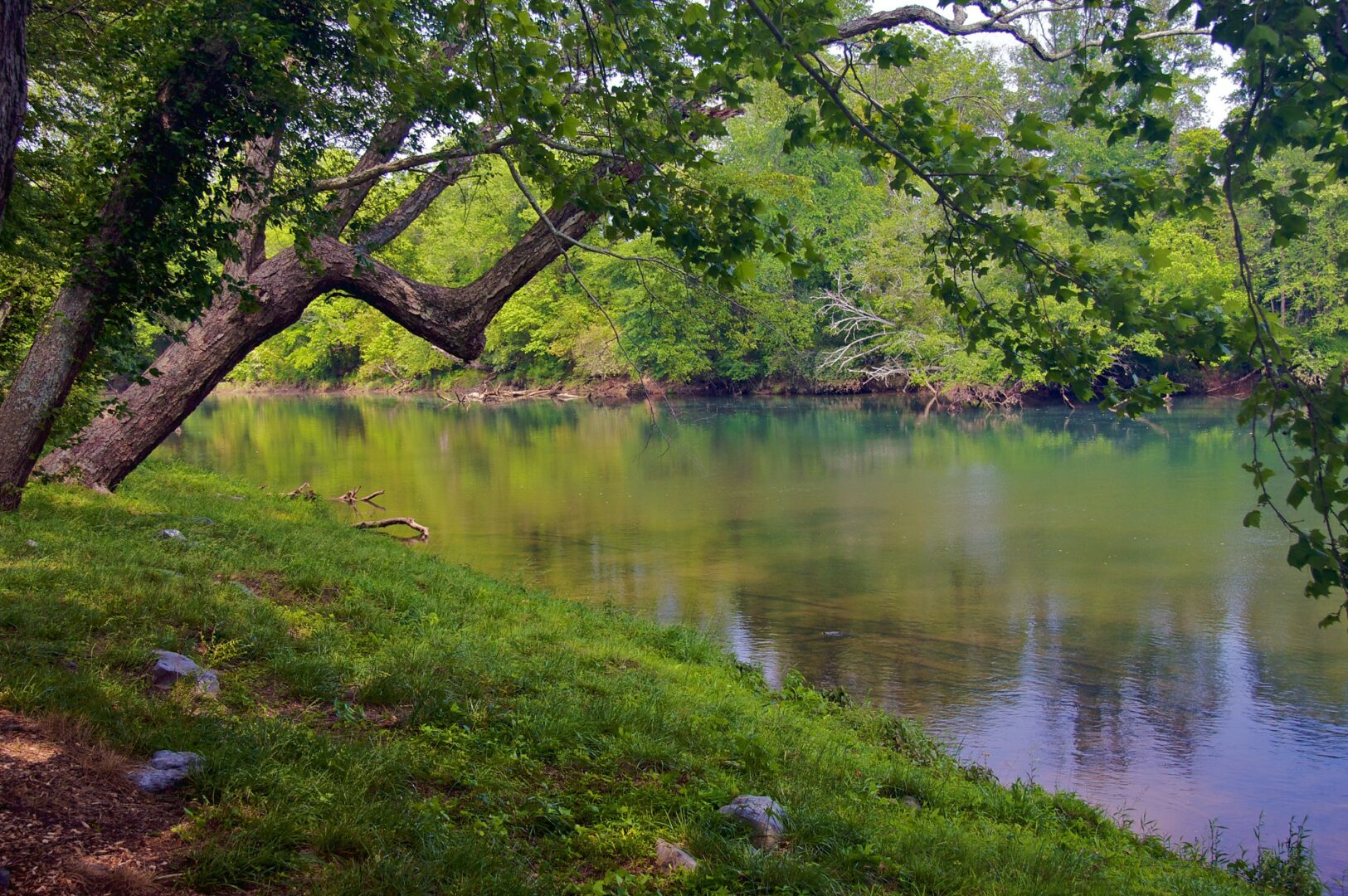
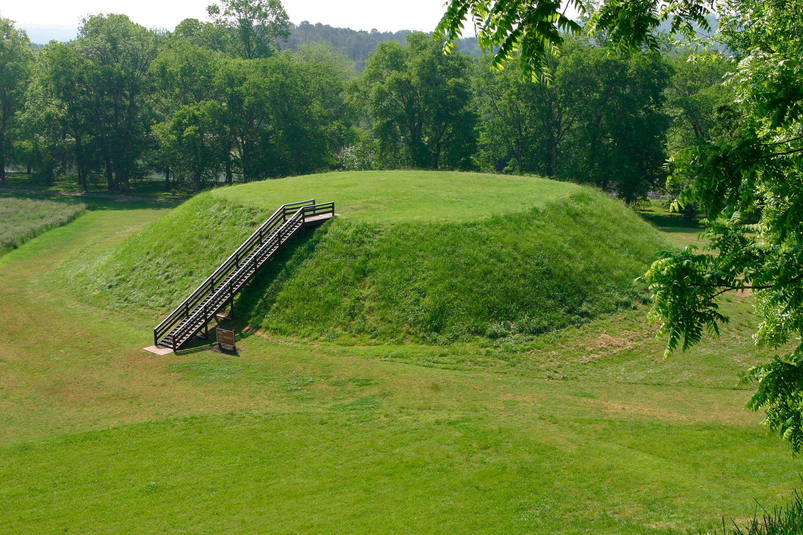
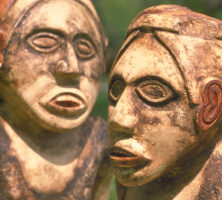
A number of rare artifacts were found at Etowah Mounds. The site of the ancient fifty-four-acre Indian town is located on the Etowah River, some three miles south of Cartersville in Bartow County. Its most prominent features are three large earthen mounds, though there are at least six mounds altogether. The largest, a temple mound, rises to a height of slightly more than 60 feet.
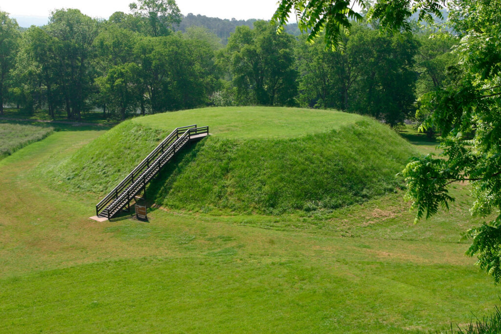
The mounds are situated along the sides of two rectangular plazas, the larger of which stretches approximately 300 feet. Constructed in the form of four-sided, flat-topped pyramids, the mounds served originally as platforms. Public buildings, long since vanished, were constructed on their elevated surfaces. A ramp with log steps led from the plaza up one side of the mound to the building erected on the mound summit. Surrounding the mound and plaza complex in the center of the town were residential houses. A large encircling ditch protected the town. Immediately inside it was a post palisade employing rectangular bastions, or towers, placed at regular intervals along its length.
The town was settled by the twelfth century; many archaeologists date the settlement at least two centuries earlier. Its occupation continued, with brief periods of abandonment, into the seventeenth century. Archaeological excavation, carried out intermittently at the site for more than a hundred years, has provided much information about the prehistoric life of the town. Now owned by the state of Georgia, the site and an interpretive museum are open to visitors.


