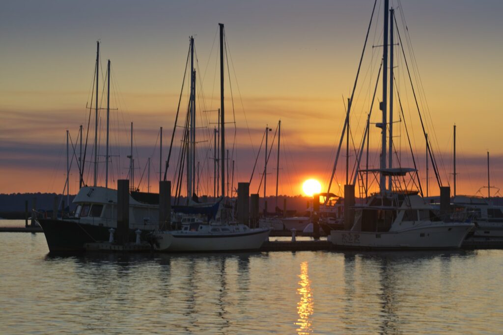
St. Marys has been described at different times over the centuries as a bustling seaport, a sleepy tourist resting place, or a strategic military location. Close to the Georgia-Florida state line (on Route 40, off Interstate 95), it is located on the St. Marys River, within six miles of the Atlantic Ocean.
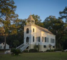
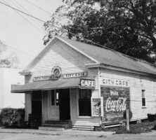
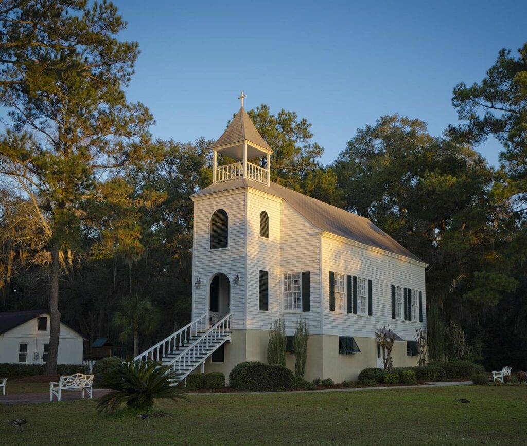
It served as Camden County’s seat from 1869 until 1923. Today many of its residents earn their livelihood by catering to the tourists who visit the St. Marys National Historic District, which includes beautiful nineteenth-century buildings, offices, and shops and the Oak Grove Cemetery. According to the 2020 U.S. census, the population is 18,256.
Established on the site of an abandoned Timucuan Indian village, Tlathlothlaguphta, St. Marys sits on land confiscated from two brothers of royal governor James Wright. Their Royalist sympathies resulted in their banishment after the American Revolution (1775-83) and the loss of their huge estates. The history of the town’s name is not clear. Accounts differ regarding the origin of the name itself—some say it is named after the St. Marys River, while others say it comes from a seventeenth-century Spanish mission, Santa Maria, on nearby Amelia Island, Florida. (Histories also differ regarding whether the new town was known as St. Patrick’s for a few years—until 1792—or whether that name actually referred to another town close by.) After the departure of its royalist owners, the land belonged to Jacob Weed, an early planter and state legislator. Weed sold 1,672 acres along the St. Marys River to nineteen other men, and the twenty laid out the new town together in 1788. Early maps show the streets were 100 feet wide, interspersed with two 16-acre public squares. Each one of the twenty founders was authorized to use the squares and received a mixture of good, marshy land in his purchase.
Soon after the town was laid out, the area became home to Acadian refugees (later called Cajuns). The French-speaking Acadians, having been deported from Canada by the British, had settled in many places, including the French colony of Saint-Domingue on the Caribbean island of Hispaniola. Some fled Toussaint L’Ouverture’s slave rebellion there, arriving in St. Marys in 1791. St. Marys was established by an act of the state legislature on December 5, 1792. It was not officially incorporated, however, until November 1802.
Wartime Involvement
The strategic location of St. Marys on the Atlantic Coast just above Florida led to its involvement in several of the major military conflicts in U.S.history. Troops were sent from New York to the area during the American Revolution. It was captured by the British during the War of 1812 (1812-15), and Union gunboats shelled its waterfront buildings during the Civil War (1861-65). Its military connections have continued with the establishment of Kings Bay Naval Submarine Base.
Early Population Losses
The losses to the city’s population caused by the calamities of war were serious, a combination of casualties sustained during attacks and the migration of frightened civilians inland to avoid danger. In addition to war, raids by smugglers and Native Americans, and epidemics of yellow fever repeatedly occurred throughout the nineteenth century, killing many and causing others to leave. In one attempt to correct the loss of population, free land was offered to settlers in 1877.
Industrial Growth
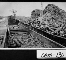
Industrial development began after the Civil War, initially in the form of a lumber mill built by the company Fox and Burns. More sawmills followed, as well as several canning plants specializing in preserving local shrimp, beans, and sweet potatoes. Lumber and fishing provided the main sources of income for townspeople for decades, supplemented in the twentieth century by fertilizer and chemical plants using menhaden and porgy (two types of Atlantic fish) for raw material. Cotton and tobacco warehouses lined the riverfront.
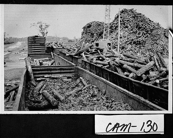
The establishment of the Gilman Paper Company’s St. Marys Kraft Corporation plant in 1941 was a welcome impetus to growth. Gilman Paper was purchased by the Durango Paper Company in 1999 and renamed the Durango-Georgia Company in 2000. After sixty-one years in Camden County the plant closed its doors in fall 2002, causing hardship to many in the local lumber industry who lost their jobs.
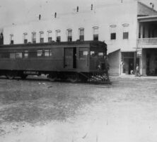
Shipbuilding, important in the town’s earliest days, again gained importance in the twentieth century. The opening of Kings Bay Naval Submarine Base in 1979 brought with it a healthy infusion of new residents to complement the hospitality industry-based population. As of 2002 the Kings Bay workforce included more than 9,000 military and civilian personnel. As a growing retirement and bedroom community, however, St. Marys has been able to withstand the population losses associated with these changes to the local economy.
Tourist Economy
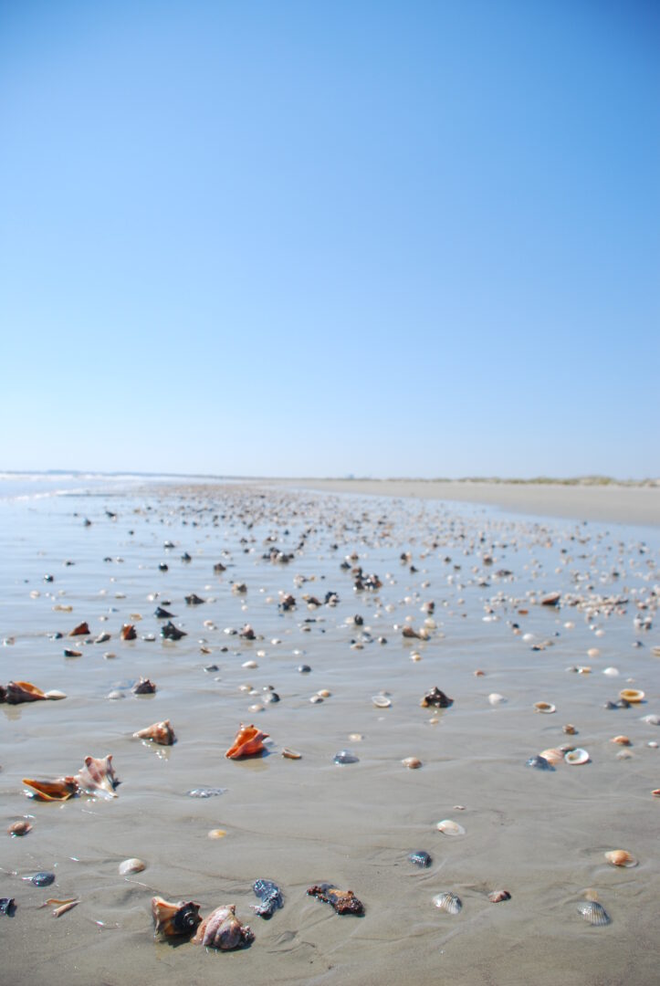
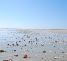
Although a hotel built in 1916 catered to such travelers as the author Marjorie Kinnan Rawlings, who wrote the children’s book The Yearling (1938), and cartoonist Roy Crane, creator of such comics as “Buzz Sawyer,” it was not until the 1970s that St. Marys developed its current tourist economy. Calling itself “The Gateway to Cumberland Island,” the town is the departure point for those taking the ferry (the only transportation) to the Cumberland Island National Seashore. St. Marys is now well known as an ecotourism center, with a reputation for being friendly to newcomers, whether they are settling or just visiting.