Union County, located in northeast Georgia at the southern tip of the Blue Ridge Mountains, is the state’s eighty-third county and comprises 323 square miles. Its northern border is shared with North Carolina. In 1832 the state legislature created Union County from Cherokee County. John Thomas, a state representative for the area, suggested the name “Union.”
The western part of the county was annexed by Fannin County in 1854, and in 1856 the southern tip was given to Gilmer County and an eastern section went to Towns County. Most of the first white settlers of the area were Virginians who traveled to Georgia through the mountain passages of the Carolinas.
County Seat and Communities
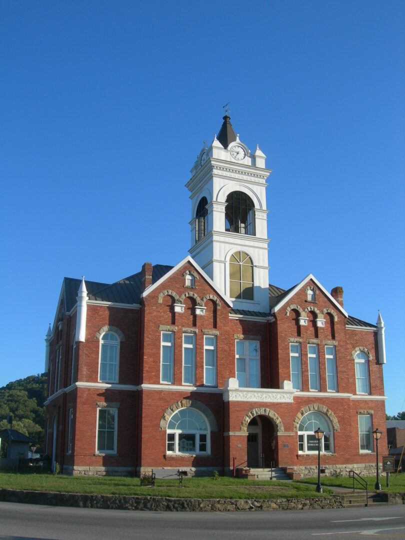
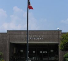
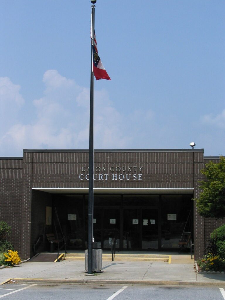
The county seat is Blairsville, incorporated in 1835. The current courthouse, the county’s fourth, was built in 1978 as an annex to the Union County Office Building, which was built in 1976.

Blairsville is the only incorporated town in Union County. Unincorporated communities include Neels Gap and Suches. Neels Gap was named after W. R. Neel, the chief engineer of the survey for the American Scenic Highway, which came through the gap. The Cherokee Indians called the gap Walasi-yi, meaning “the place of Walasi, the Great Frog,” which led early white settlers to call it Frogtown Pass. Suches, possibly named after a local family, is the site of the Chattahoochee Forest National Fish Hatchery. Woody Gap School, one of the state’s few remaining isolated rural schools that incorporates kindergarten through grade twelve, is located in Suches. Several places in Union County, past and present, acquired their names from the Cherokees. One of the most romanticized is Choestoe, from the Cherokee tsistu-yi, or “rabbit place.” The area is located about seven miles southeast of Blairsville. The Nottely River, a tributary of the Hiawassee River, comes from the name of the Indian village Naduhli, which means “daring horseman.”
History
When it was created, Union County was one of the most remote areas of Georgia. Its land, which was available through the Georgia land lottery system, was not thought to be very valuable and attracted only those with fairly meager financial resources. Growth of the county was slow until the 1840s, when roads and bridges were built, providing residents with access to agricultural markets. The county’s first industries were of the type that support agricultural endeavors. Blacksmiths, gunsmiths, millwrights, tanners, and wheelwrights operated an iron foundry, distilleries, and mills of various types.
During the Civil War (1861-65), Union County’s residents remained pro-Union, and their delegates to the 1861 secession convention voted not to secede. However, once war was declared, many county residents showed loyalty to the South by joining the ranks of the Confederate forces. (This is attested to by a modern war memorial in Blairsville that lists ninety-eight Confederate soldiers but only three Union soldiers from the county.) After the war, railroads built lines to communities close to Union County, including Gainesville and Culberson, North Carolina, enabling county farmers to expand distribution of their commodities. The first paved road in Union County was completed in 1926 and ran from Cleveland to the North Carolina border. Tourism was given a boost after the U.S. government bought 31,000 acres of forest, spread across Fannin, Gilmer, Lumpkin, and Union counties. It was named the Chattahoochee National Forest in 1937.
Economy
Union County remains rural, and agriculture and tourism are the mainstays of its economy. The Mountain Research and Education Center, the University of Georgia’s oldest agricultural extension station, was established in 1930 on 415 acres south of Blairsville. Through its educational programs, which taught local farmers how to diversify their crops, the station was instrumental to the growth of the county’s economy. In 1938 the center became one of the founders of the Georgia–TVA Council, which was formed to promote the use of yield-boosting fertilizers in the area. This development led to a Union County farmer’s becoming the first in the state to produce 100 bushels of corn per acre. One of the center’s notable achievements was its development of a superior bell pepper, which local farmers grew for the Joseph Campbell Company.
The Zell Miller Mountain Parkway (Georgia State Highway 515; named for Georgia governor and U.S. senator Zell Miller), part of the Appalachian Developmental Highway, was completed in 1991 and has greatly strengthened the place of tourism in the Union County economy. The highway makes it easier for county residents to commute to metropolitan Atlanta for employment. The new highway also led to a boom in retirement housing, providing construction jobs to Union County residents and bringing in a large contingent of retirees.
People and Places
Noteworthy residents have included Joseph E. Brown, Georgia’s governor during the Civil War; Byron Herbert Reece, an poet and novelist; and Arthur Woody, “the barefoot ranger.” Woody was one of Georgia’s first forest rangers, working as a ranger from 1918 to 1942, and is considered the state’s first conservationist.
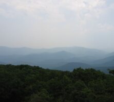
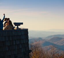
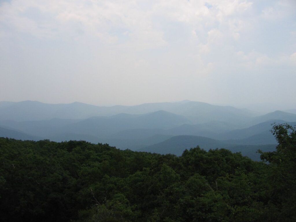
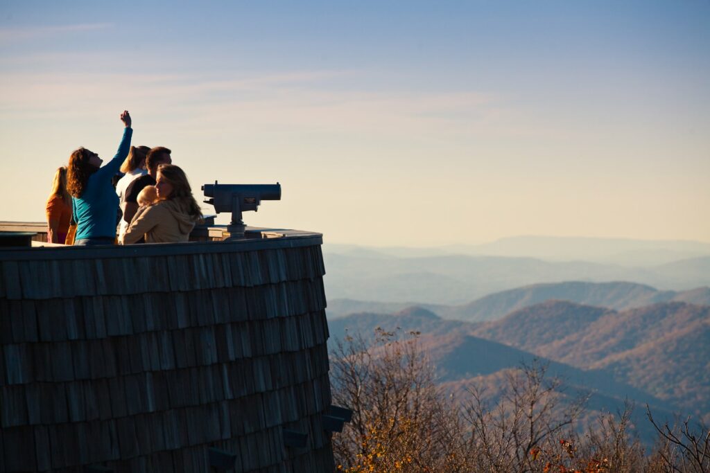
Many points of interest are scattered throughout the county. Blood Mountain Archaeological Area, the site of a battle between the Creek and Cherokee Indians, was added to the National Register of Historic Places in 1976. Blood Mountain Boulders is a popular rock-climbing site in Suches. Brasstown Ranger District includes 157,000 acres within the Chattahoochee National Forest, with hiking trails through a variety of forest types. The district also includes Brasstown Bald, Georgia’s highest mountain (4,784 feet); the mountain is partly in Union County and partly in Towns County. The Trackrock Archaeological Area includes ancient Indian petroglyphs within its fifty-two acres and was added to the National Register of Historic Places in 1976.
The Byron Herbert Reece Farm and Heritage Center, nine miles south of Blairsville, includes the house that Reece built for his parents, his study, a barn, and the home of his sister. Three miles south of the home place is the Byron Herbert Reece Memorial Park, with hiking trails and picnic facilities.
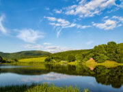
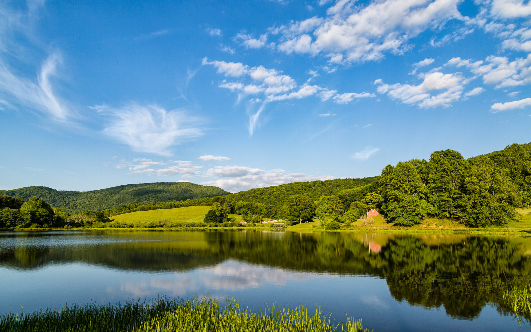
Lake Nottely, a 4,180-acre lake built by the Tennessee Valley Authority, is used for recreation, power generation, and flood control. Vogel State Park, Georgia’s second oldest state park, encompasses 233 acres south of Blairsville and is located on Lake Trahlyta.
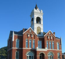
Old Union County Courthouse, built in 1899 and restored by numerous local volunteers, was added to the National Register of Historic Places in 1980; today it houses the Union County Historical Society. The Union County Heritage Center encompasses 1.8 acres in downtown Blairsville and includes the restored Butt-Mock Home, built in 1906, and the John Payne Cabin, built in 1861. The Walasi-Yi Center, built in Blairsville in 1937 by the Civilian Conservation Corps, served first as an inn and restaurant, then as a studio space for artists, and today as a welcome center for hikers on the Appalachian Trail. Walasi-Yi was added to the National Register of Historic Places in 1979.

North Georgia Technical College opened a branch in Blairsville in 1998.
According to the 2020 U.S. census, the population of Union County was 24,632, an increase from the 2010 population of 21,356.