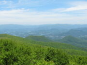
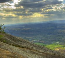
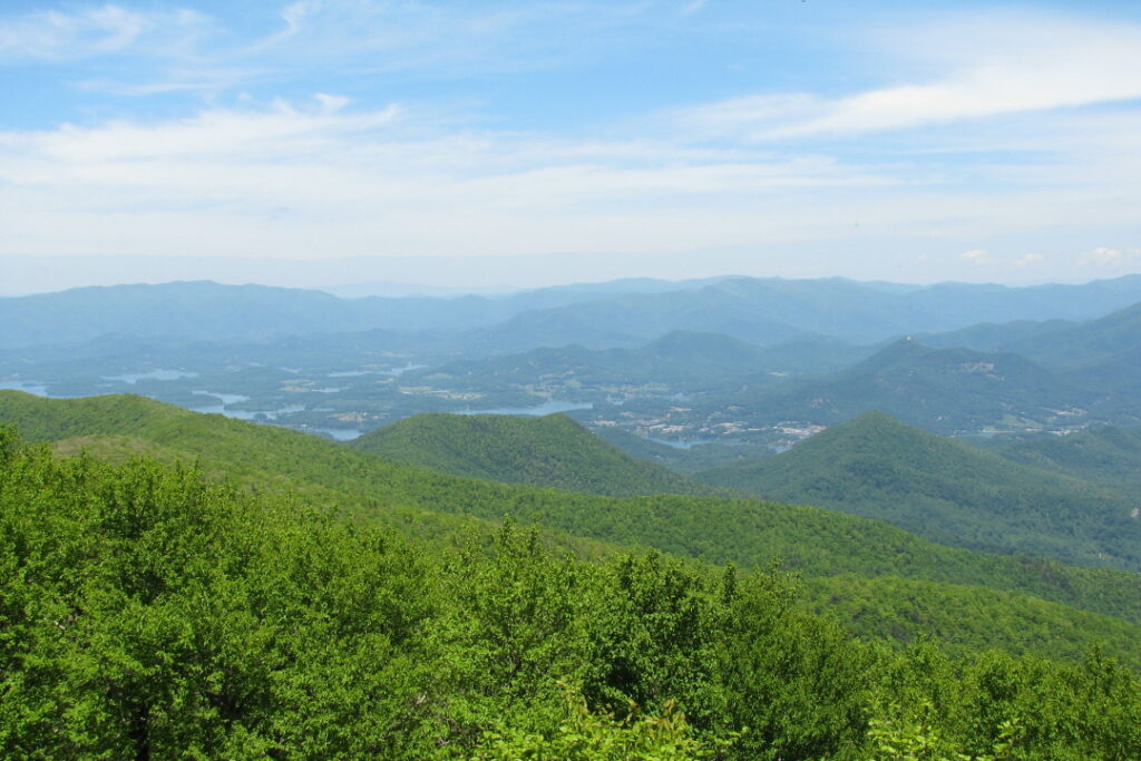
The Blue Ridge province in northeast Georgia is home to spectacular mountain scenery and boasts the highest point in the state, Brasstown Bald, located in Union County. The Appalachian Trail has its southern origin in the Blue Ridge Mountains; the trail’s official starting point is Springer Mountain, near the southern tip of Fannin County. Some of Georgia’s most-visited state parks are found in the Blue Ridge, including Amicalola Falls, Black Rock Mountain, Tallulah Gorge, Unicoi, and Vogel.
Photograph by Sammy Hancock
The Blue Ridge province is bounded on the northwest by the Great Smoky fault, across which lies the Valley and Ridge province, and on the southeast by the Brevard fault zone, across which lies the inner section of the Piedmont province. The Blue Ridge province is primarily a physiographic designation, and for this reason, many of the rocks making up the western Blue Ridge resemble the oldest rocks of the Valley and Ridge, whereas some rocks of the eastern Blue Ridge resemble those of the Piedmont. Separating the western from the eastern Blue Ridge are the Hayesville and Allatoona faults.
Western Blue Ridge
The western Blue Ridge is dominated by low- to high-grade metamorphosed sedimentary rocks of late Precambrian to early Paleozoic eras. These rocks were deposited in troughs and basins that formed when the great Precambrian supercontinent, Rodinia, began to break up about 700 million years ago. Most of these rocks constitute the late Precambrian Ocoee Supergroup, of which the most prominent members in Georgia are the Pinelog Formation (the oldest), the Wilhite Formation, and the Great Smoky Group (the youngest). The Pinelog and some of the Great Smoky rocks contain pebbles of bluish quartz that weathered out of the underlying billion-year-old basement crystalline rocks. A prominent part of the western Blue Ridge is the Murphy Marble Belt, a long, narrow strip of metamorphosed sedimentary rocks flanked by Great Smoky Group rocks and characterized by rich marble deposits. The Murphy Marble Belt is thought to be between 400 and 500 million years old.
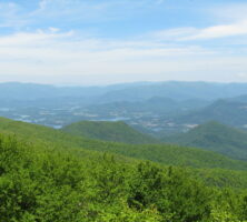
Courtesy of Georgia Archives.
Eastern Blue Ridge
The eastern Blue Ridge consists of a variety of igneous and high-grade metamorphic rocks, including numerous granite bodies. The metamorphic rocks were originally part of the Precambrian basement, as were the volcanic and sedimentary rocks laid down as the proto-Atlantic Ocean began to close during the early Paleozoic era. Gold, which formed as the hot rocks interacted with water, became concentrated in this area, resulting in such future gold districts as the Dahlonega area.
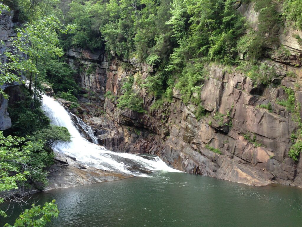
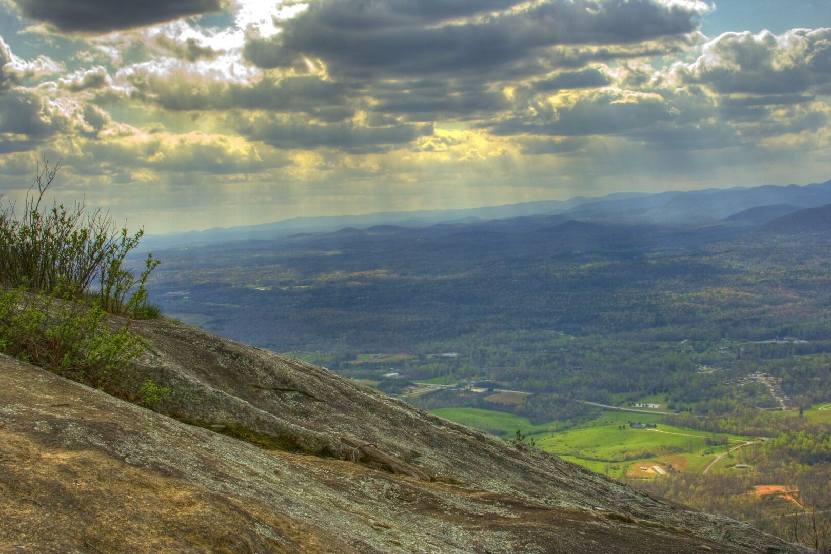
Image from Andrew Piazza
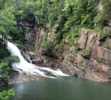
A thick section of quartzite, the metamorphic equivalent of quartz sandstone, partially rings the large Tallulah dome and forms the high, steep bluffs of Tallulah Gorge in northeast Georgia. Migmatites, rocks with both metamorphic and igneous characteristics, make up other eastern Blue Ridge rocks and reveal the very high temperatures reached by these rocks during mountain building.
Thrust Faults and Thrust Sheets
The Blue Ridge is an assembly of several stacked thrust sheets, each with its distinctive rock types and structural style. A thrust sheet in the continental crust is a large slice of rock that has been pushed up and over other rocks along a break in the crust known as a thrust fault. Thrust faults form in response to compression during mountain building, and once formed, they provide the break along which thrust sheets move. Along with “fold,” or the bending of rocks, the movement of thrust sheets is the process by which rocks are stacked up to form mountains. As the proto-Atlantic Ocean was closing by subduction, or the descension, of the ocean floor under the edge of proto-North America, parts of the continental margin and ocean floor were broken loose and pushed to the northwest along several thrust faults. These faults now delineate the different thrust sheets of the Blue Ridge. Partial melting formed granite magma that intruded the overlying stacks of metamorphic rocks. Mount Yonah, in White County, is made of this granite, which is about 375 million years old.

Image from Andrew Partain
The major thrust sheets of the Blue Ridge in Georgia are, from southeast to northwest, the Chattahoochee thrust sheet, the Dahlonega gold belt, the Hayesville-Soque River thrust sheet, and the western Blue Ridge. The Chattahoochee thrust sheet, which contains the Tallulah dome, rests against and partially atop the Dahlonega gold belt running along the Chattahoochee fault. The Hayesville-Soque River thrust sheet sits against and partially atop both the Dahlonega gold belt and the western Blue Ridge along both the Hayesville fault and its probable equivalent, the Soque River fault. To the southwest the Dahlonega gold belt rests against the western Blue Ridge along the Allatoona fault.
Continental Collision
The proto-Atlantic Ocean finally closed at the end of the Paleozoic era, at which time the southeastern part of what is now North America collided with what is now northwest Africa. This great collision pushed the entire Blue Ridge province farther onto the continent by 150 kilometers or more, bulldozing the Paleozoic sedimentary rocks to the northwest into what is now the Valley and Ridge province.
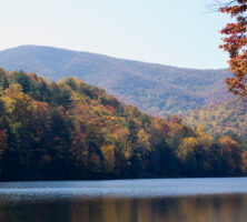
Photograph by Vicki's Nature
Present-Day Exposure
Erosion of the Blue Ridge for millions of years has exposed rocks that were once buried deep inside the Appalachian Mountains. In some places, erosion has breached the thrust faults and partially exposed the rocks underneath. The most noteworthy example of such a breach is Brasstown Bald, which is made of Great Smoky rocks but is surrounded by rocks of the once-overlying Hayesville-Soque River thrust sheet.