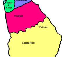
The diverse landscapes of Georgia result from geological and climatic forces working throughout time, with some recent direct influence from human activities. Georgia encompasses parts of five distinct physiographic provinces: the Appalachian Plateau, the Valley and Ridge, the Blue Ridge, the Piedmont, and the Coastal Plain.
The form of the landscape and the climate of the area influenced the development of vegetation and animal life in each of these provinces. Although Georgia is the largest U.S. state east of the Mississippi River, it covers only about 300 miles from north to south, providing a small range in which biological diversity may occur. With elevations ranging from sea level to more than 4,700 feet and a diverse geological base with many different soil types, however, the ecology of Georgia is widely varied.
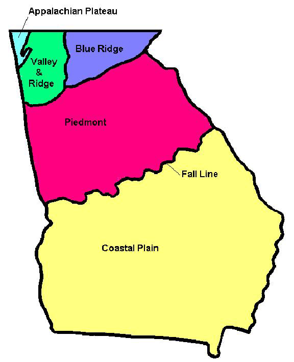
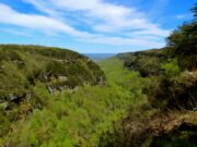
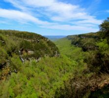
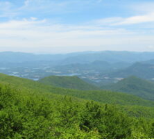
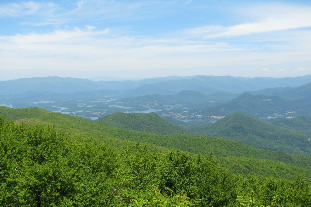
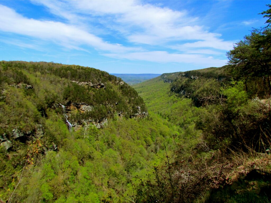
Part of the Appalachian Plateau, including Lookout Mountain, is located in the extreme northwestern corner of Georgia. The Ridge and Valley extends northeast to southwest through the state, connecting portions of Georgia and Tennessee with eastern Alabama. This province consists of numerous northeast-to-southwest-trending ridges with associated valleys. It has historically been the source of mining activity with some farming in the valley floors. The Blue Ridge is the southern extent of the major mountain range of the Appalachians that extends into Georgia. The highest points in the state, including Brasstown Bald (4,784 feet above sea level), are in the Blue Ridge. This area traditionally has been an area of mining—the first gold rush in the United States took place at Dahlonega in 1828—but today the Blue Ridge, with its mountain streams and cool summer breezes, serves primarily as a source of recreation. The Piedmont is home to most of Georgia’s population. This area of mountain foothills once served as the primary area for growing cotton. Most of Georgia’s cities are in the Piedmont, and the area is highly industrialized, with industries as diverse as carpet milling, aircraft and automobile manufacturing, and poultry processing. Agriculture is still a significant economic activity, but animal products such as poultry, eggs, and beef are dominant.
The Atlantic Coastal Plain is south of the fall line, which extends across Georgia from Augusta on the Savannah River, at the South Carolina border; to Milledgeville on the Oconee River; to Macon on the Ocmulgee River; to Columbus on the Chattahoochee River, at the Alabama border. The fall line forms the geologic boundary between the Piedmont and Coastal Plain; rivers flowing across this juncture produce waterfalls. Cities were created at these falls on major rivers as points for cargo transfer from riverboats and barges to trains and wagons.
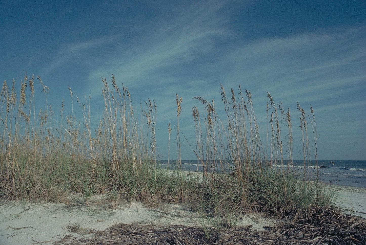
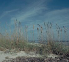
The Coastal Plain has two parts, the Upper Coastal Plain and the Lower Coastal Plain. In the Upper Coastal Plain, which covers the central and southwestern portions of the state, agriculture is the dominant activity. The core of the state’s peanut, cotton, and vegetable industry is here. The Lower Coastal Plain includes the actual coastal area of the state and the Sea Islands, as well as the Okefenokee Swamp. Although some agricultural activity occurs, the area is significant because of shipping and recreation associated with the Georgia coast.
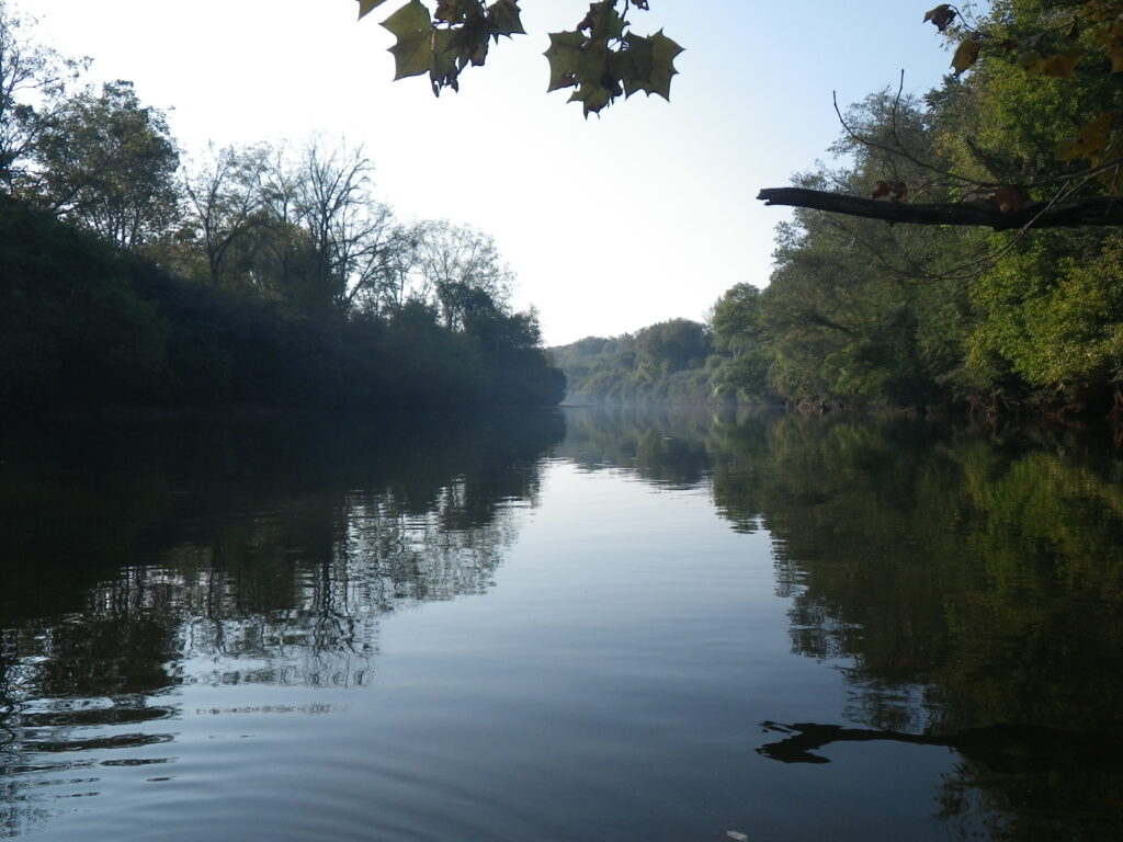
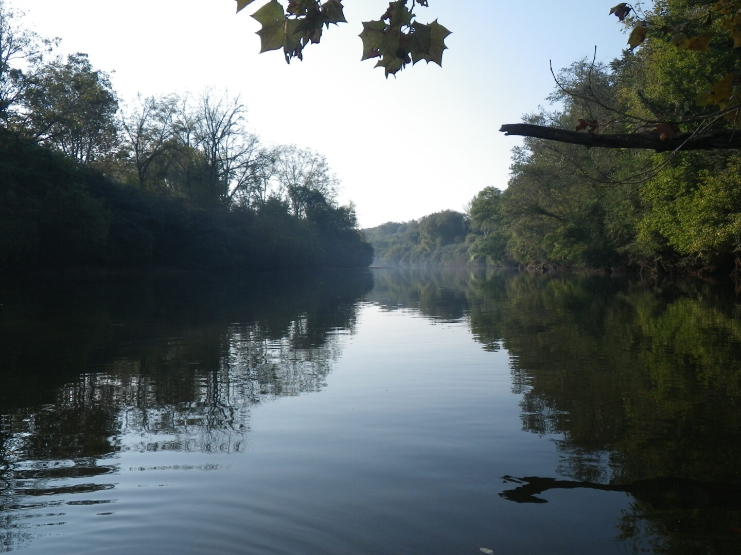
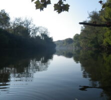
Sources of water in Georgia are divided by geology at the fall line into the northern part, which depends almost exclusively on surface water because of the underlying granitic rock types, and the southern part, which has excellent aquifers (bodies of rock porous enough to conduct water to wells and springs) and uses primarily groundwater. Unfortunately, since most of Georgia’s population, including the entire metropolitan Atlanta area, resides in the Piedmont, surface water must supply most of the state’s water needs.